⚙️ What Is TopoExport ?
What Is TopoExport For?
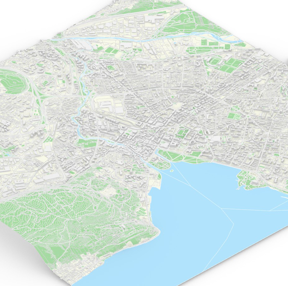
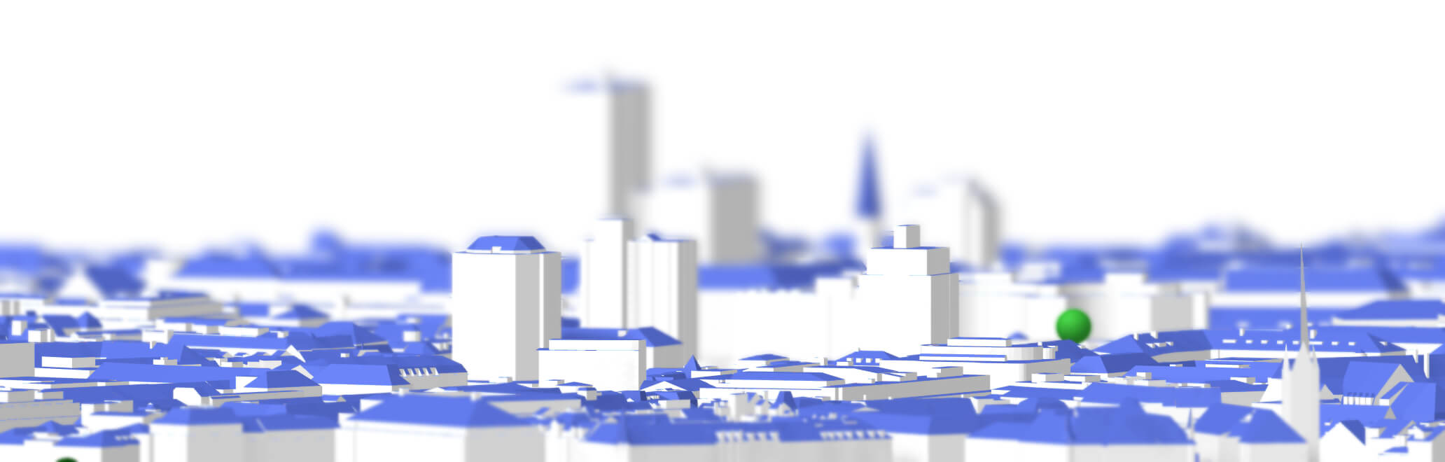
TopoExport is a web app that generates for you 2D maps and 3D models anywhere in the world, using the best available geospatial data. Professional call this a GIS synthesis. (GIS means Geographic Information System).
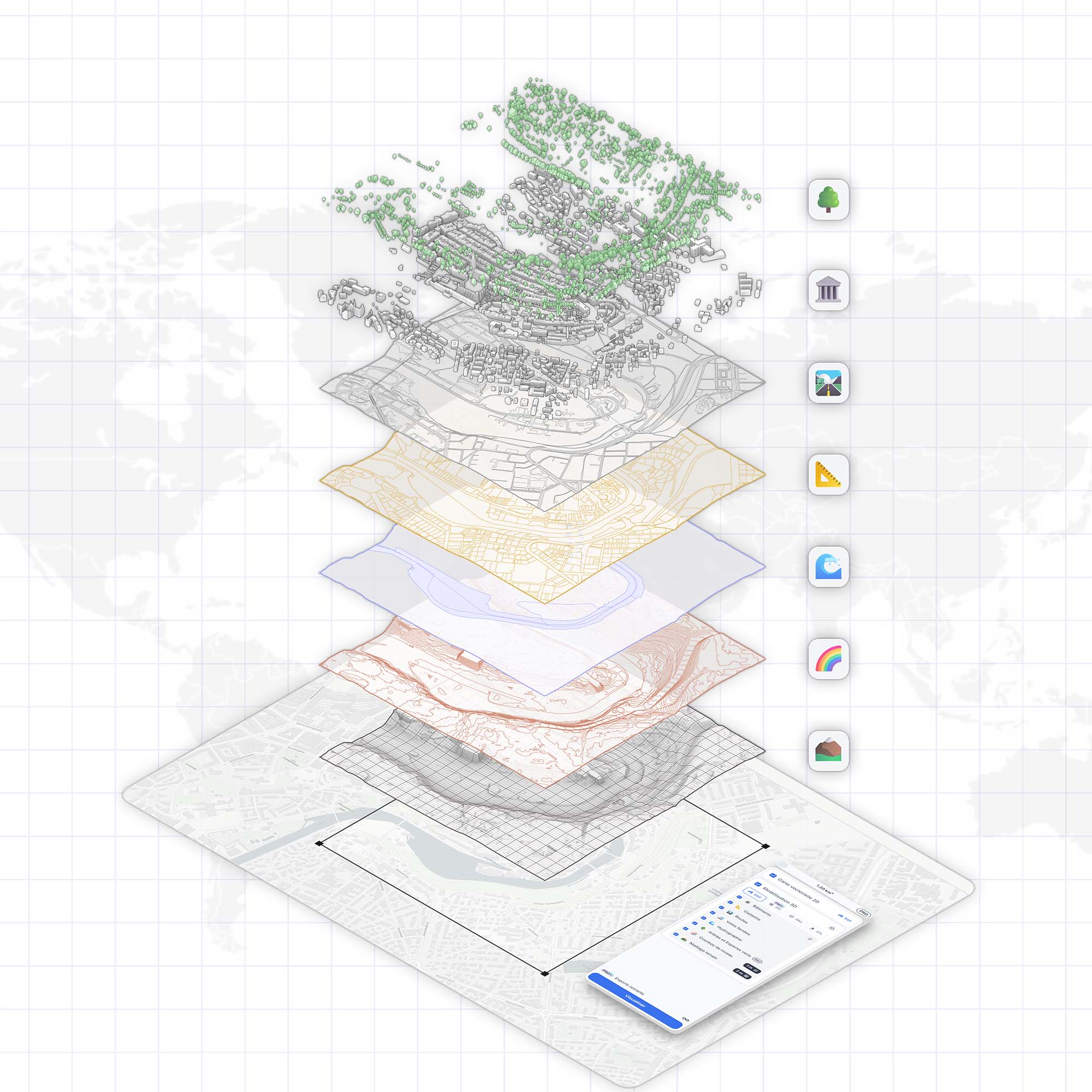
We collect the most accurate sovereign datasets for each available layer, format the data, and make it easy to import into your favorite architecture or design software.
Here are the main layers we focus on:
- Buildings
- Cadastre (land parcels)
- Roads
- Railways
- Hydrography
- Building shadows
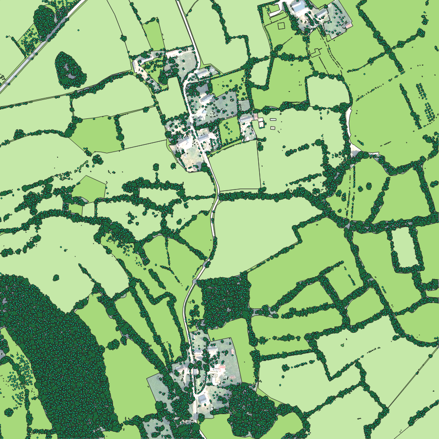
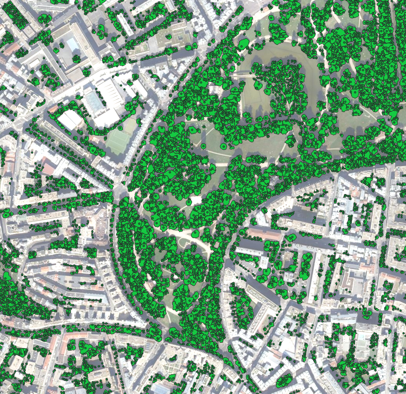
- Trees and green areas
- Topography (contour lines and terrain mesh)
Why TopoExport ?
How is the Coverage that Good ?
The TopoExport team is always looking for the best geospatial datasets in every country around the world. You can see all the available layers here.
We are very exhaustive for each country, state, region and city. We look into available data and official EPSG coordinate system, sort them out, save them and update them regularly for you. For example we've added the United States Geological Survey 3D Elevation Program Terrain DTM 1m in NAD83 (EPSG:4269) in TopoExport.
💡 What’s an EPSG code?
An EPSG code is a short number that your software uses to know how the map is projected on Earth. Every country uses its own coordinate system.
🚀 TopoExport Tips :
If you want your export georeferenced in native projection of your country instead of coordinates (0,0), click on the small icon :
On the right of the 2D or 3D map. A globe will appear this means your export will be sent georeferenced :
How is the Data Quality that High ?
High-quality open geospatial data are collected directly from reliable national and global sources.
TopoExport operates sovereign data of the following countries 🌍 :
- Australia - EPSG:28350–28357
- Austria - EPSG:3035
- Belgium - EPSG:3812
- Canada - EPSG:3979
- China - EPSG:4490
- Czechia - EPSG:32633
- Denmark - EPSG:25832
- Estonia - EPSG:3301
- Finland - EPSG:3067
- France - EPSG:2154, 3942 and 3947
- Germany - EPSG:25832, 32633
- Indonesia - EPSG:WGS84 UTM
- Italy - EPSG:32632
- Japan - EPSG:6668
- Latvia - EPSG:3059
- Luxembourg - EPSG:2169
- Mexico - EPSG:6365
- Netherlands - EPSG:28992
- New Zealand - EPSG:2193
- Norway - EPSG:5972, 25833
- Poland - EPSG:2180
- Portugal - EPSG:3763
- Slovenia - EPSG:3794
- Spain - EPSG:3041, 3042, 25829
- Sweden - EPSG:3006
- Switzerland - EPSG:2056
- Taiwan - EPSG:3826, 3825
- United Kingdom - EPSG:27700
- United State - EPSG:4269
If there is no local data available, we use global datasets like OpenStreetMap (OSM) and Global DTM 30m. OSM is a pretty amazing database but it remains less accurate and less up to date compared to sovereign data.
What is the Difference with Cadmapper?
Cadmapper works in a similar way as TopoExport. However, all of Cadmapper’s data comes only from OSM and NASA elevation models.
That’s fine for quick row sketches but not ideal for architectural or landscape projects because this data is made for traffic navigation and not for precision modeling.
That’s why we invest time gathering official open data. It makes it more reliable for architectural mapping and modeling during competition and concept design phases.
👷Your exports must be validated by a licensed surveyor to use them for construction purposes.
Who Is TopoExport For?
TopoExport was created by architects and engineers to give you the best site context when you're in prototyping phase. We mainly serve these two professions but all fields related to territorial planning are welcome including urban planners, landscaper and designers.
We also noticed that many architecture students use TopoExport. You can contact us to get a student discount, it’s quicker than hunting for shapefiles! 😉