UpdateRoads MeshesHydrography MeshesGreen Spaces Meshes
✨ Update: A New Generation of Exports
by Nathan
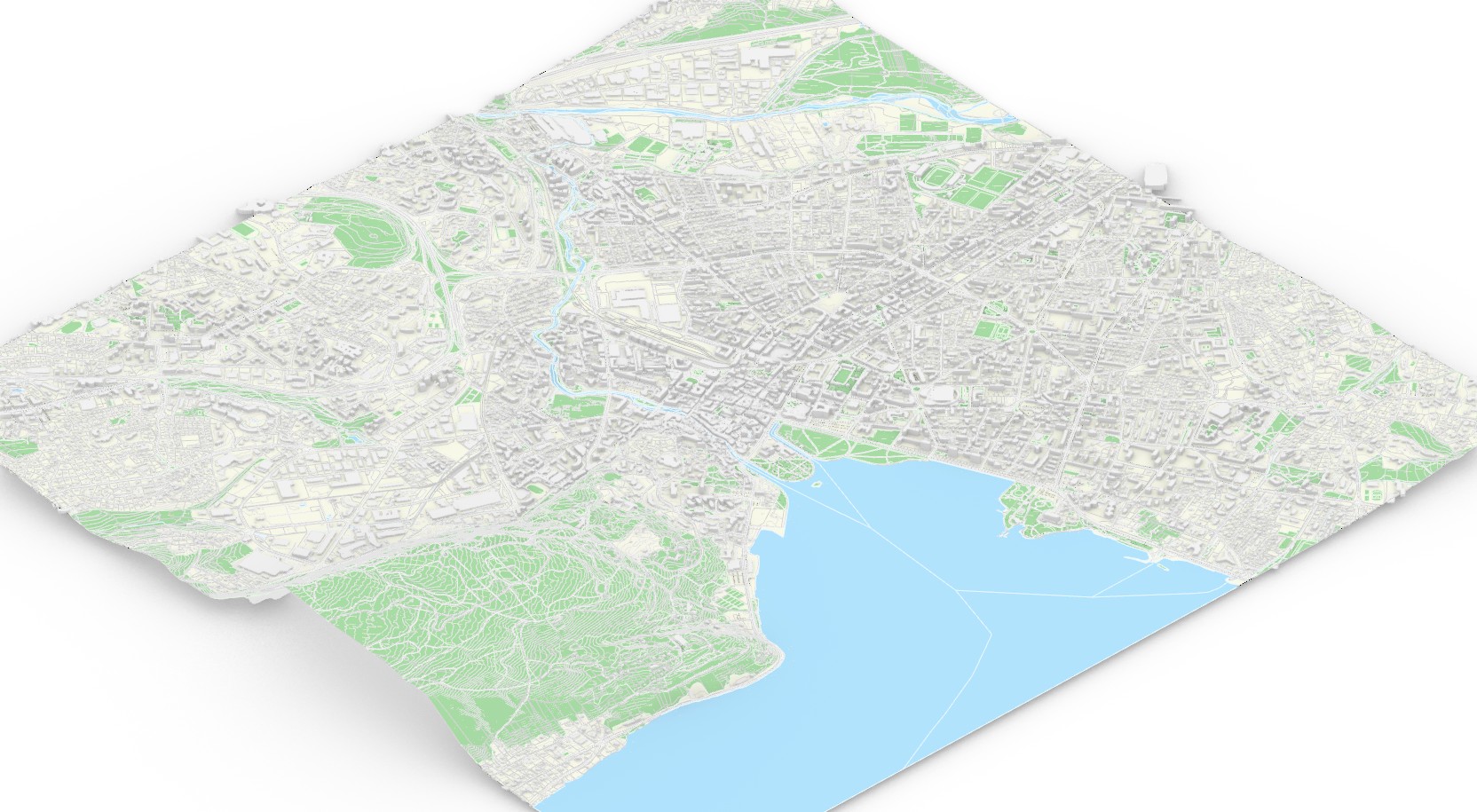
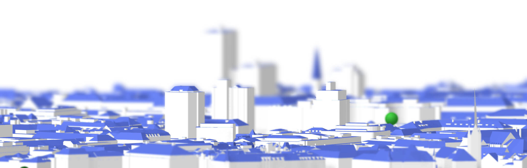
A clean 3D rendered modeling map of Annecy showing the city’s buildings, road network, waterways, green spaces and surrounding relief.
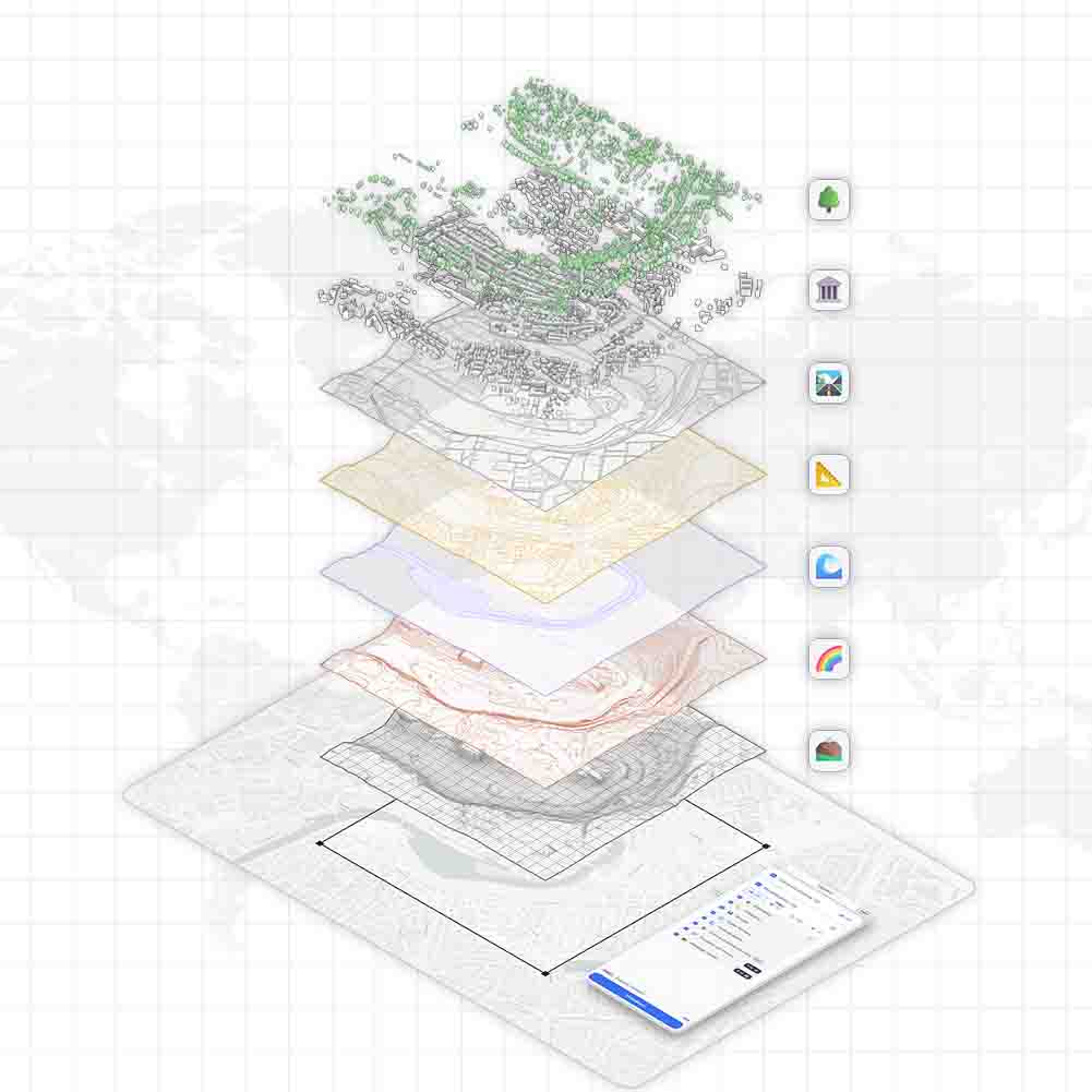
We are excited to introduce an upgrade to TopoExport. In addition to the vector layers already available, we now deliver full 3D meshes for three key datasets:
- Roads ;
- Hydrography ;
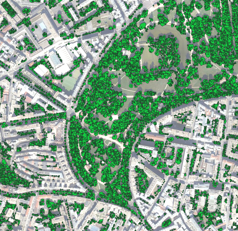
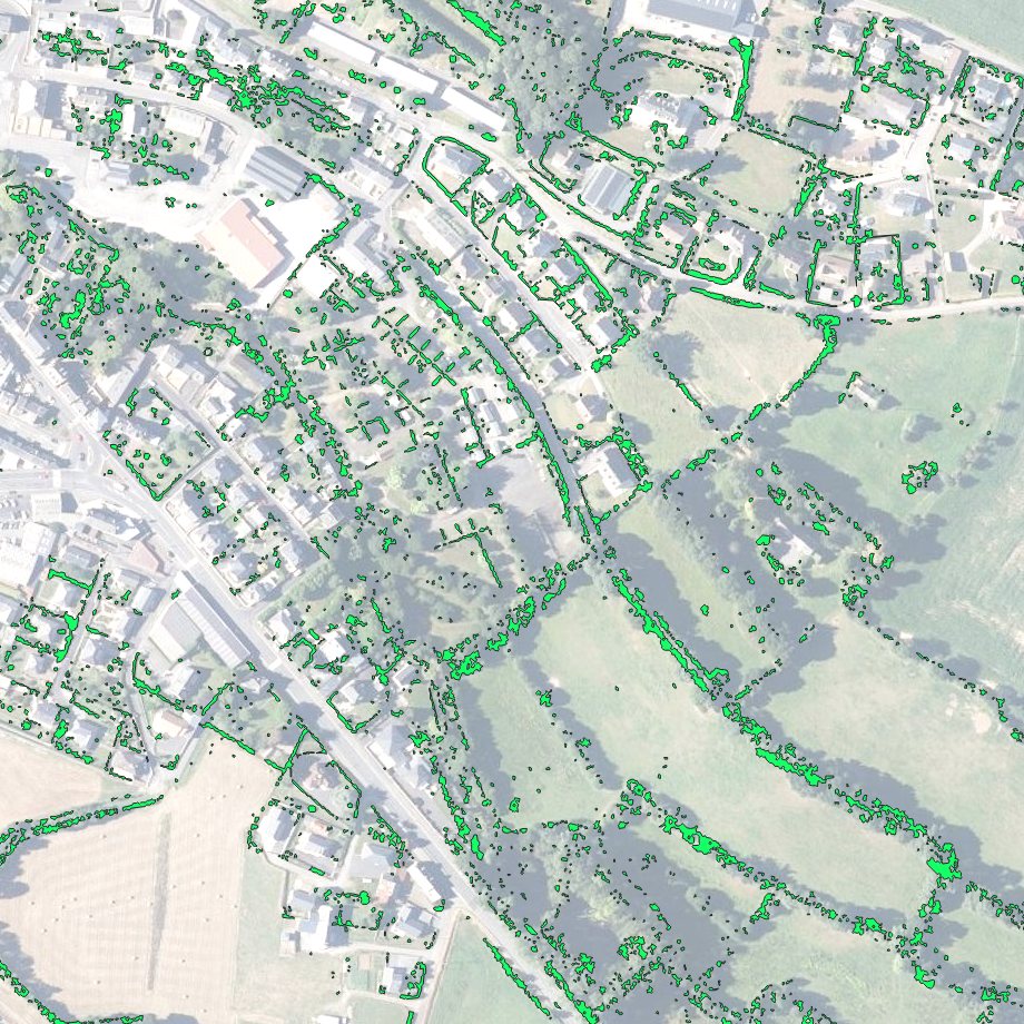
- Green Spaces.
These new meshes significantly simplify:
- Surface editing workflows ;
- Rapid 3D volume extrusion ;
- integration into tools such as Rhino, Revit, ArchiCAD and Vectorworks.
Optimized Layer Structure
Each export now benefits from a fully reorganized and enhanced layer structure. Layers are color-coded, renamed and structured to minimize post processing. Architects now can be focus on using the data not cleaning it.
Back-End Improvements
We have rebuilt our computation system from the ground up. This overhaul delivers substantially faster export generation even for large 50 km² areas. Long waits are now a thing of the past.