





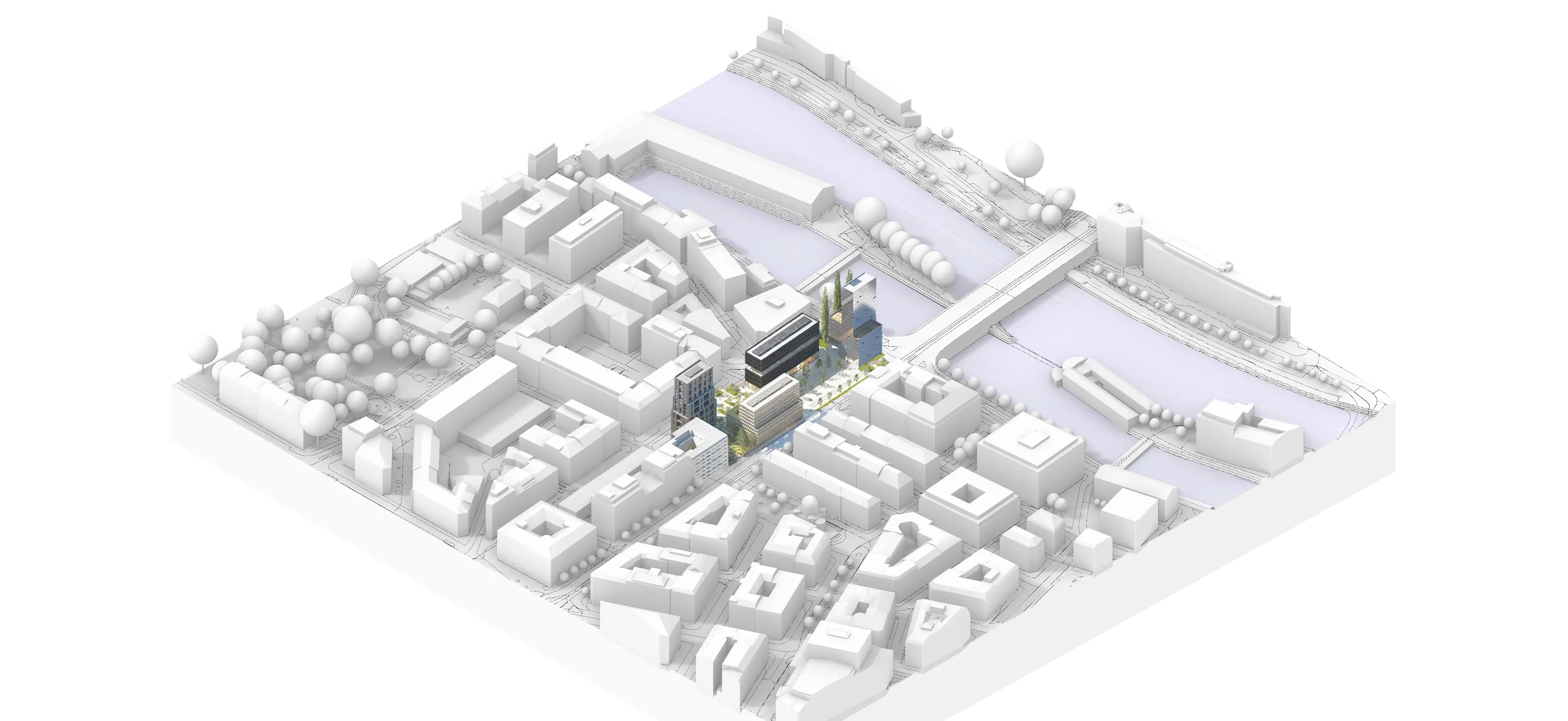
The accuracy of the best topographic sources.
Export with confidence using data from the best sources, for professional-grade precision.
Compatible with your favorite CAD software.







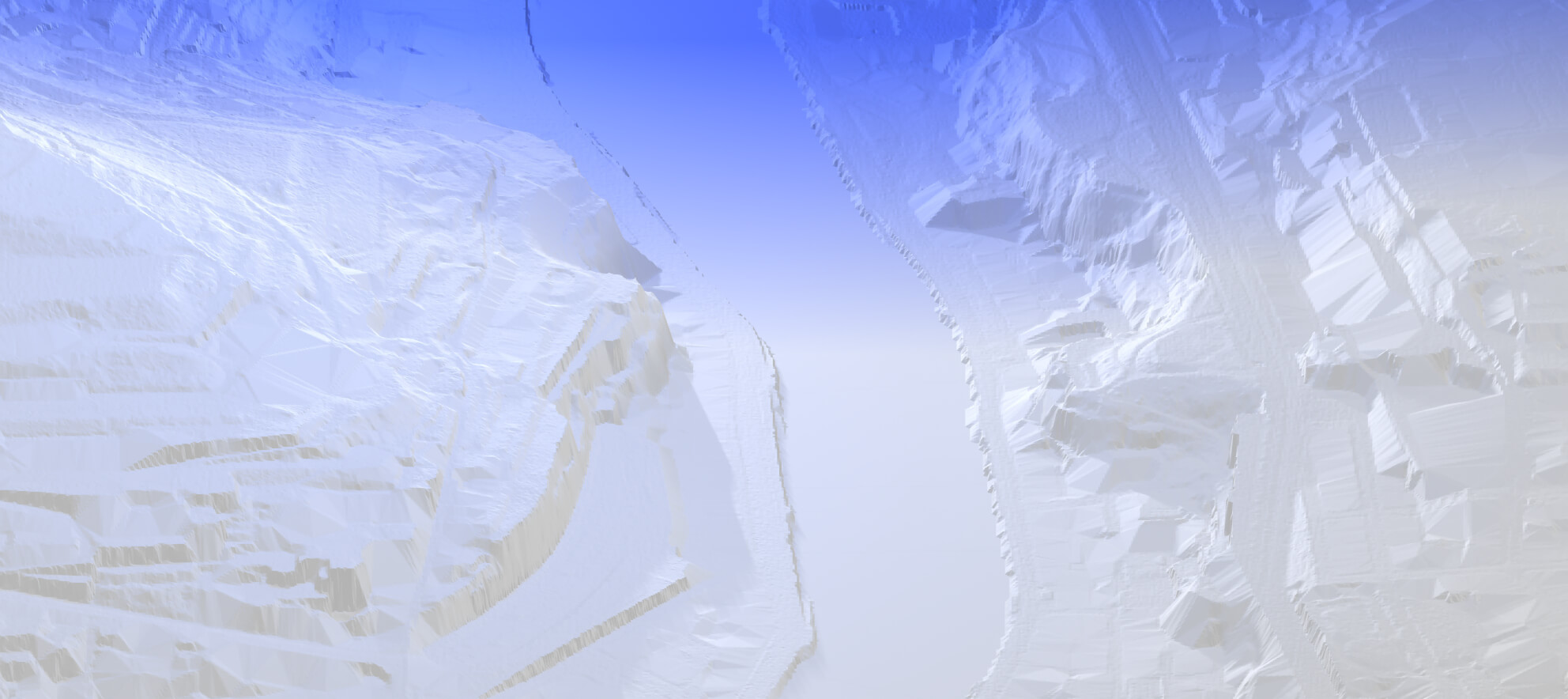
High-resolution rendering.
Access superior detail levels with reliable DTMs* and optimized contour lines.
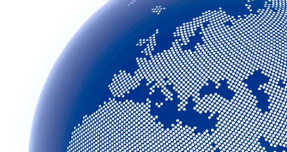
Up to 50 km².
Download landscape and territorial models with unmatched ease.
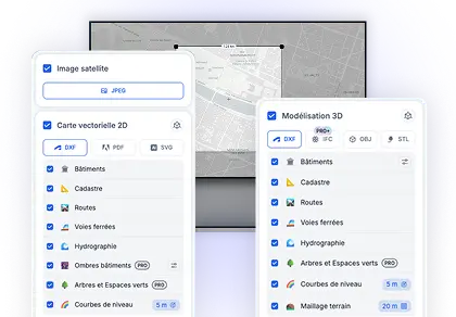
Accessible to all.
Architects, urban planners, landscape designers, designers, engineers, students, and more.
*Level of Details
Available only in Germany and Switzerland.
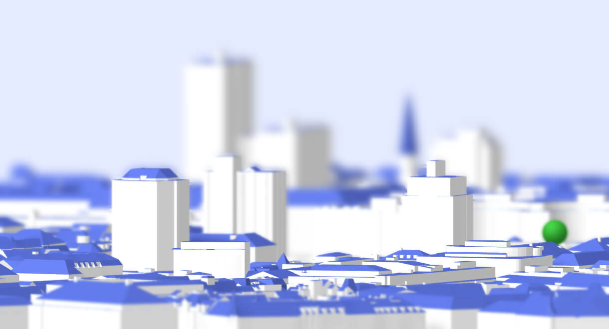
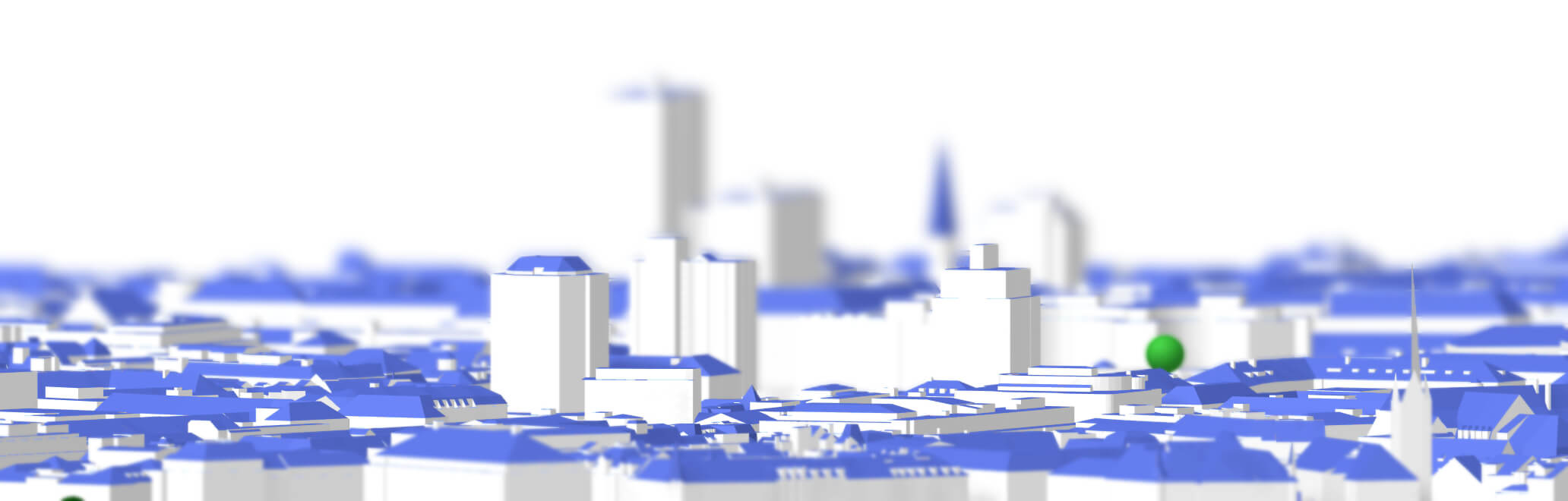
LoD2* Available.
Access a more accurate 3D representation of rooftops.


Click, Click. Done.
Select, export: your export can be created in just two clicks.
Let’s hear from our users.
People use TopoExport every month.
Referenced by businesses and individuals.
Rayon.design
7 156 followers
Caroline Irlinger 📐
Vos dossiers d'urbanisme en toute simplicité 🏡 Dessinatrice en architecture ✏️ Déclaration préalable de travaux
Nicolas HENRY
Chef de projets 🛠 | Maîtrise d'Ouvrage 🏠 | Référent B.I.M 📐 Expert REVIT M.E.P 💡 | Bâtiments durables 🌱
Mário Henriques Rebelo
Senior Architect; Lead Team; BIM Management; Supervision Works; Real Estate Advisor
Majda Mabrouk
Telekommunikationsbereich
OKPROD
1 797 followers
Rayon.design
7 156 followers
Caroline Irlinger 📐
Vos dossiers d'urbanisme en toute simplicité 🏡 Dessinatrice en architecture ✏️ Déclaration préalable de travaux
Nicolas HENRY
Chef de projets 🛠 | Maîtrise d'Ouvrage 🏠 | Référent B.I.M 📐 Expert REVIT M.E.P 💡 | Bâtiments durables 🌱
Mário Henriques Rebelo
Senior Architect; Lead Team; BIM Management; Supervision Works; Real Estate Advisor
Majda Mabrouk
Telekommunikationsbereich
OKPROD
1 797 followers