The best official data, everywhere on Earth.
High-precision national datasets, completed by global layers covering the entire planet.
Click a country to explore its datasets: official producers, production years and precision.
Datasets integrated
Official data producers
High-precision terrain
Every national agency. One export.
No more portals to browse or formats to convert: each country's official data, ready to export.







































Every layer of your site.
The best official dataset where one exists, a global layer everywhere else: TopoExport always picks the most precise source available.
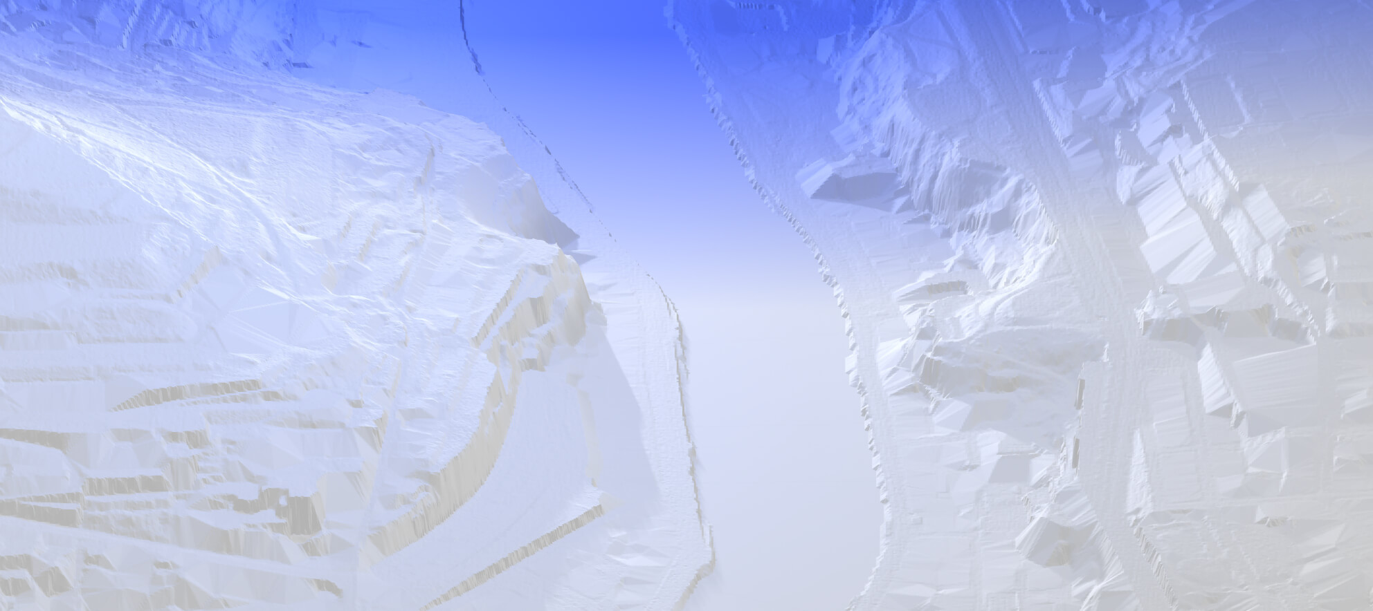
Terrain down to 0.5 m.
Digital terrain models from national LiDAR surveys, with a resolution down to 0.5 m and contour lines derived from them.
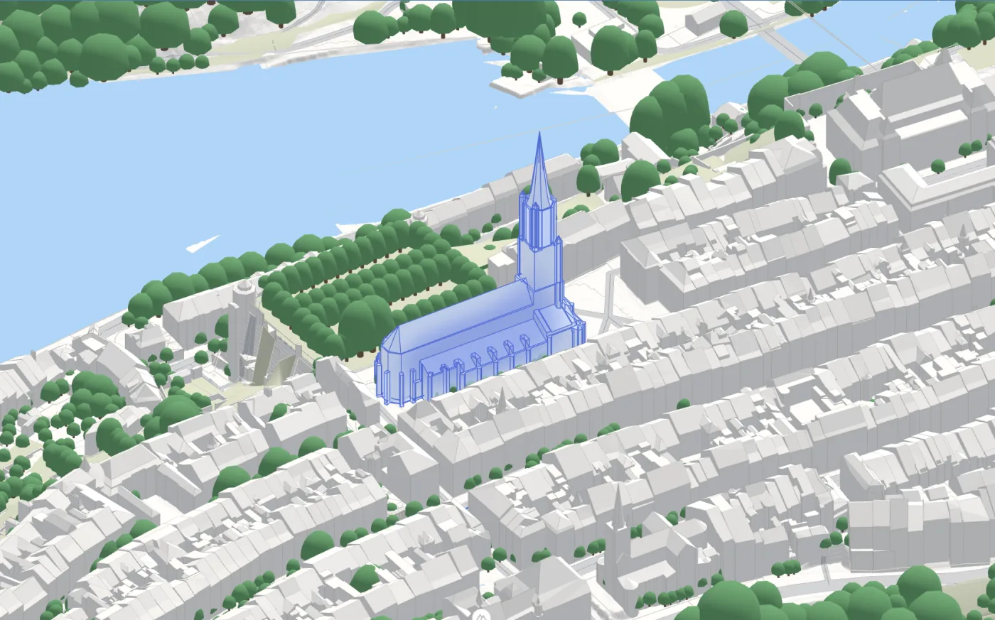
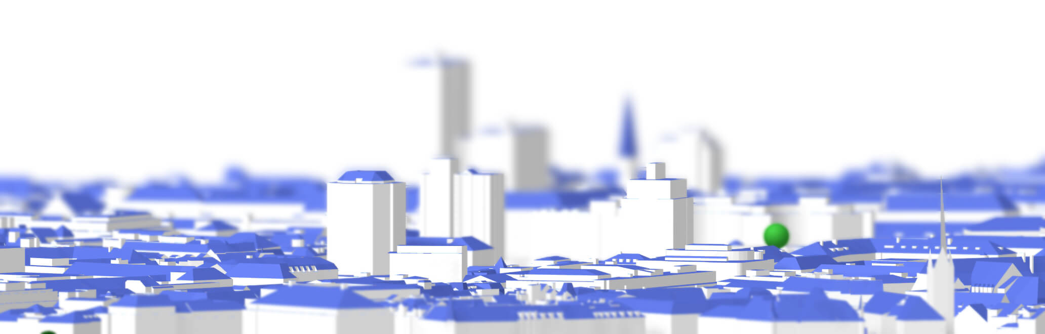
Buildings up to LoD2.
Footprints and heights everywhere in the world, with real roof shapes where national LoD2 models exist. Where a country publishes its LiDAR but no LoD2, TopoExport builds its own.
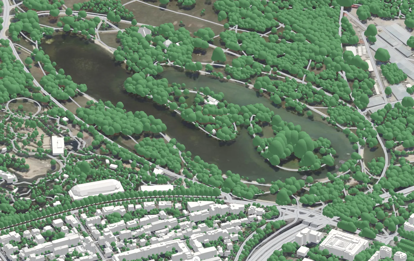
Trees, everywhere.
Each tree detected individually from a global canopy height map, or extracted from LiDAR point clouds in the countries that publish them.
Cadastral parcels
Official parcel boundaries, straight from the national land registries.
Roads
The full road network worldwide, with official road outlines where they exist.
Waterways & water bodies
Rivers, streams, lakes and ponds, everywhere on Earth.